

Services
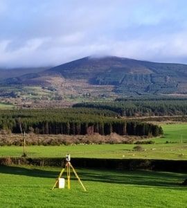
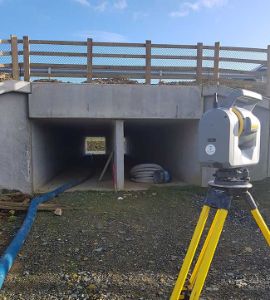
At Land and Aerial Surveys, we have a combined experience of over 30 years in gathering topographical and hydrographic survey data using the most up-to-date robotic total stations, UAV’s, scanners, GPS and surveying software to ensure a fast and cost effective field to finish solution. The final processed data can be supplied in various formats.
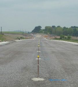
The specialised field of setting out requires an experienced team of qualified engineering surveyors using high-specification surveying equipment in order to achieve the necessary accuracy.
At Land and Aerial Surveys, we use the highest accuracy 1″ Total Stations for mm accuracy where you need it.
We are specialists in gathering topographical and hydrographic survey data using the most up-to-date robotic total stations, GPS and surveying software to ensure a fast and cost-effective field-to-finish solution. The final processed data can be supplied in various formats.
For any project requiring a calculation of earthworks volumes, 3D digital terrain models can be created from survey data in a number of formats in order to provide accurate areas and volumes for cut/fill. We provide accurate data which will not only provide you with confidence but can help to reduce delays on site.
Measured Building Surveys provide accurate and detailed plans of a building’s layout and structure, which can then be used for design and refitting purposes. A typical survey would show all structural features including walls, windows, doors, beams, floor and ceiling heights.
At Land and Aerial Surveys we can provide a professional aerial surveying service for your project. This can range from a simple aerial photograph of a plot of land to a large hi-resolution stitched image, with cm accuracy.
Our Clients


