Aerial Surveys
At Land and Aerial Surveys we can provide a professional aerial surveying service for your project. This can range from a simple aerial photograph of a plot of land to a large hi-resolution stitched image, with cm accuracy.
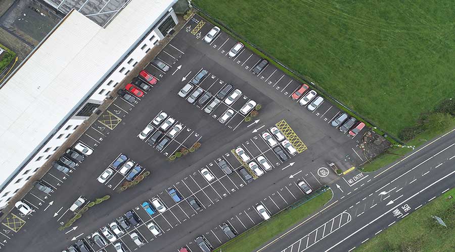
Our Clients range from small homeowners looking to view damaged roofs to SME businesses wanting photographs of their property for website etc.
Consulting companies and civil contractors have been using our aerial services for volume surveys (DTM, DSM models) as we can fly large sites which would normally take a surveyor many days to obtain the information by GNSS. Many of our construction clients are using us for the inspection of bridges and difficult-to-reach structures.
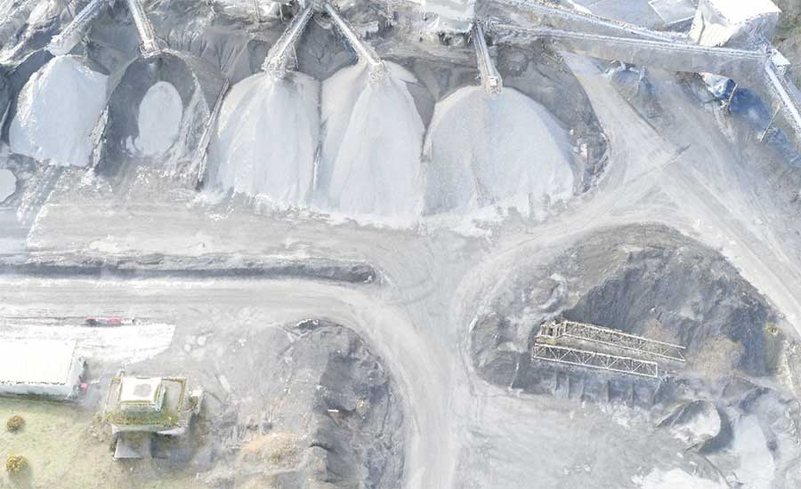
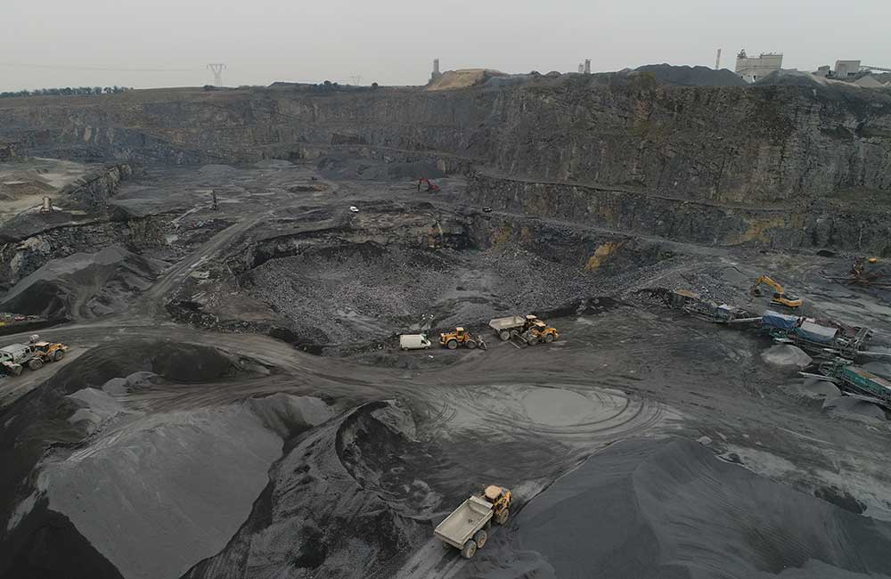
Quarries continue to use our SUA’s (Small Unmanned Aircraft) for planning, design and stockpile quantities. It is becoming more and more common to use these methods in the aggregate industry.